Sunday, May 4, 2014

Day Three at Big Bend: Hot Springs and the Rio Grande River

We started out early this morning to go to the Hot Springs not too far from our campground.  Before we got to the end of the gravel road we found this sign...
 
Since we were driving our one ton dual rear wheel truck, we parked at that point and walked the rest of the way.   That gave us an excellent opportunity to enjoy the changing shadows as the sun was rising higher in the sky.

 
Continuing on down the road we came to the location where in 1909 J. O. Langford built a house on top of a bluff and developed a small health resort utilizing the spring's natural hot water for baths.

J. O. Langford home.
 
Interior of Langford home.

The Langfords were forced to leave Hot Springs in 1916 because of border unrest related to the Mexican Revolution.  When Langford returned in 1927 he built a motor court for his guests and a general store which also served as the U. S. Post Office for Hot Springs.

Motor court for Langford's guests.

Remains of the General Store and Post Office

Another view of the General Store
 Continuing on the trail toward the hot springs we saw these cliffs with pictographs from ancient people who lived in the shelter of the cliffs.

Pictographs

Pictographs


J. O. Langford advertised the hot springs as "The Fountain that Ponce de Leon Failed to Find"

The bathhouse was right on the edge of the Rio Grande River.
The river is very shallow at this point and Mexican nationals come across and attempt to sell their handcrafted wares to U. S. tourists.
Looking across the Rio Grande from the Hot Springs trail and into Mexico.
After we left the Hot Springs area we drove to the site of the Daniels Ranch which at one time included irrigation features.
This 1920 adobe farmhouse, one of the few historic buildings
in the area, is typical of Big Bend's agricultural period.
 Later in the morning we hiked the Nature Trail that departs from the Rio Grande Village Campgrounds.
A restored wetlands.

Another view of the wetlands.

Burros grazing across the river in Mexico,

The village of Boquillas del Carmen seen in the distance.

The Rio Grande River

A sharp bend in the Rio Grande River.  From the high observation
point the Rio Grande River was on three sides of us.
Looking past an Ocotillo plant and across the Rio Grande
River into Mexico.

Saturday, May 3, 2014

Day Two at Big Bend: The Chisos Mountains

We spent today in the Chisos Mountains area of Big Bend National Park.  When we left our campsite at Rio Grande Village (close to the river) we were at an elevation of about 1800 feet above sea level.  We drove first to the Visitor Center at Panther Junction.
 
After leaving the visitor center we passed this wonderful display of purple cactus in front of the more familiar Prickly Pear cactus before beginning the six mile drive which climbs up Green Gulch to Panther Pass at an elevation of 5,679 feet above sea level.

Casa Grande

The Chisos Mountains
Soon after crossing Panther Pass we stopped at the trail head for the Lost Mine Trail where we hiked for about two hours.
The Lost Mine Trail


Casa Grande as seen from Lost Mine Trail.


The view of Juniper Canyon from Lost Mine Trail
When we returned to our truck we drove on to the Chisos Basin -- descending to an elevation of 5400 feet above sea level.
Ocotillo

Ocotillo in bloom.


View of "The Window" from the Chisos Basin.  Massive stone ridges
surround the entire basin with the exception of this window.  The
valley in the distance was once grazing land for cattle.

View of "The Window" from the Chisos Mountain Lodge Restaurant.

Afternoon view of Casa Grande from the Chisos Basin.

Friday, May 2, 2014

Day One at Big Bend National Park

After months of planning and anticipation we finally arrived at Big Bend National Park today!

 
We had heard so much about Big Bend National Park and had seen pictures and read descriptions and other people's blogs, but nothing had prepared us for the sheer grandeur that we saw as we traveled the 29 miles from the entrance at Parsimmon Gap to the Panther Junction Visitor Center.


Purple cactus at Panther Junction Visitor Center.

More flowers at Panther Junction Visitor Center

Cactus at Panther Junction Visitor Center.
 
Tunnel between Panther Junction and Rio Grande Village.

View from our campsite at Rio Grande Village.

Mexican village called Boquillas del Carmen.

Rock face illuminated by the setting sun.


Booquillas Canyon cut by the Rio Grande River over many centuries.
 
Tomorrow is another day with much more to explore.

Thursday, May 1, 2014

The Law West of the Pecos

As we traveled from Seminole Canyon State Park on our route toward Big Bend National Park, we just had to stop in Langtry to explore the legend of Judge Roy Bean, who called himself, "the Law West of the Pecos." 

Judge Roy Bean arrived in Langtry, Texas, just west of the Pecos River during the Railroad Construction Boom as the tracks from the east were being laid at a furious pace to meet tracks from the west.  Seeing an opportunity for financial gain, he established the Jersey Lilly Saloon, named after English Singer Lillian Langtry, with whom he had a fanciful but unrequited romantic interest.

 
Bean was appointed Justice of the Peace in 1882.  He held court in his saloon, at times interrupting proceedings in order to wait on a customer in the saloon.  Judge Roy Bean had but one book: the 1879 edition of the Revised Statutes of Texas.  Legend has it that instead of referring to the law book, he frequently made his own judgments.

Jersey Lilly Saloon
 
Today the Texas Department of Transportation operates the Judge Roy Bean Visitor Center at Langtry.  The Visitor Center is a museum which includes the Jersey Lilly Saloon (above) and the Opera House (below) so named to honor the English singer, Lillian Langtry.   No opera was ever performed there:   it was simply the name he gave to his personal residence.


Opera House

Seminole Canyon

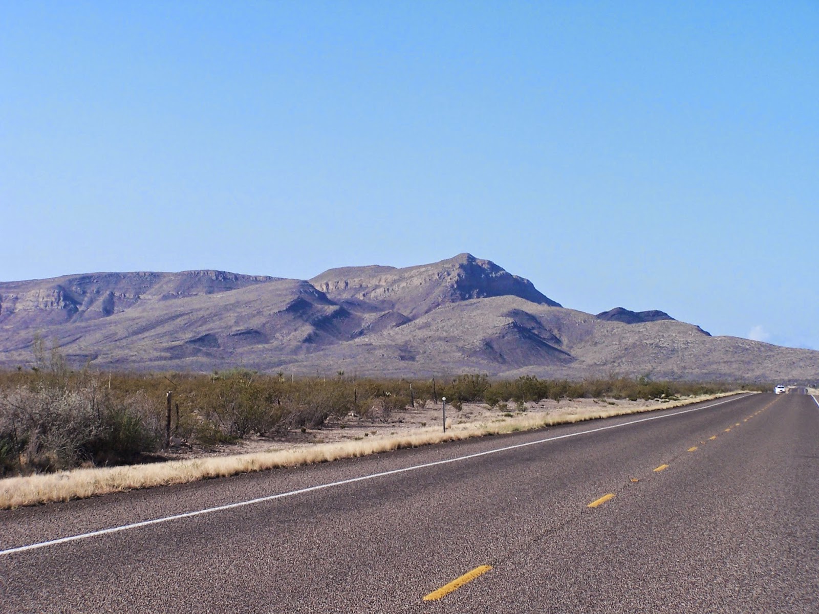
Just about forty miles north west of Amistad National Recreation Area is Seminole Canyon State Park and Historic Site.  We decided to check it out.
 
 
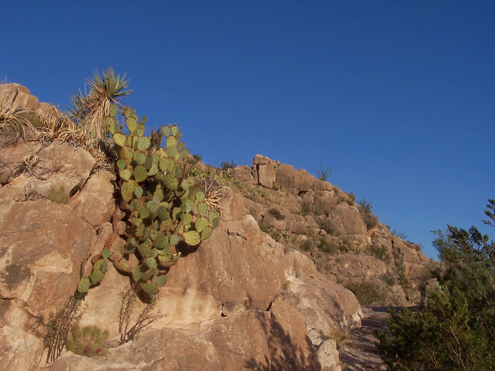
The park is located high on the ridge surrounding the huge canyon that gives it its name.  The area is arid and rocky but is home to many birds, other wildlife, and blooming wildflowers. 
 
 
The land is harsh and inhospitable.  How did farmers and ranchers ever survive its hardships?  Even with the "modern" conveniences of windmills, barbed wire, and the railroad, built through this area in 1883, life on the west Texas frontier must have been a constant struggle.
 
I was curious about the name. Seminole is the name of a native American tribe whose homeland was Florida.  How did the name get transported to west Texas?  That is the first of two fascinating chapters of history this area has experienced. 
 
Seminole Canyon in the morning
 
During the early 1800s, many African-American fugitives from slavery found their way to south Florida.  The Seminole Indians, who had themselves been enslaved at one time, took them in and offered them hospitality and protection.  There was intermarriage and their descendants were known as "black Seminoles" or "maroons."
 
Seminole Canyon at noon

In 1840, President Andrew Jackson enacted the Indian Removal Act which required that all persons of native birth (Indians) were to be forcibly moved west beyond the Mississippi River.  The Seminoles and their black tribe members fled to Mexico for protection.
 
Seminole Canyon, evening view


After the Civil War, the Texas/Mexico border was very dangerous due to frequent Indian raids.  The U.S. government enticed the black Seminoles to return to the U.S. with the promise of government employment as Indian scouts.  The park brochure states, "Seminole Canyon received its name in honor of the U.S. Army's Seminole Negro Indian Scouts, garrisoned at Fort Clark.  The scouts protected the West Texas frontier from marauding Apache and Comanche bands between 1872 and 1914.  Known for their exceptional cunning and toughness, no scout was ever wounded or killed in combat, and four earned the prestigious Medal of Honor."
 
"The Maker of Peace" by Bill Worrell

The next day we set out to discover what we could about Seminole Canyon's other interesting chapter of history.  Under the watchful eye of this artistic depiction of ancient peoples of the area, we headed down into the canyon.

Rest shelter along canyon trail

It was a hot day and a steep trail, so we were glad for that little shelter at the left of the picture.
 
View of the canyon from inside a rock shelter

When we finally (and for me, breathlessly!) made it to the canyon floor, our exertions were richly rewarded.  The walls of the canyon are lined with caves, or rock shelters as our guide called them, and several give evidence of having served as shelters for a prehistoric people who left their mark in paintings, called pictographs.
 
Our guide pointing out some pictographs
 
Our guide, Ruth, was very knowledgeable and helpfully pointed out the wall paintings.  Little is known about the people who created these paintings.  With archeological dating, the pictographs are estimated to be between 4000 and 6000 years old.
 
 
The paintings are of a style unique to the trans Pecos area of Texas although similar paintings have been found elsewhere.  However, since the painters' people have disappeared without descendants in the area, the meaning of the symbols represented in the pictographs is unknown.
 
"Deer's head" symbol replicated in Worrell's statue The Peace Maker

The pictographs are deteriorating visibly and the guide says that a method of preserving them has not been found.  Fortunately, intricate and precise drawings have been made, and preserved, of each painting.  That will preserve the memory of the paintings, but their creators are lost forever without a trace.  What a loss for all later generations!
 
Seminole Canyon Visitor's Center on the canyon rim
 
This morning we said "goodbye" to Seminole Canyon.  We were grateful for the beauty with which it had surrounded us for several days and for the knowledge of its history, shared with us.  But, Big Bend is calling our names!